


Weather Forecasting & Hazard Prediction
Meteorological models under the World Weather Watch rely on data from satellites, weather balloons, land stations, ships, and buoys.
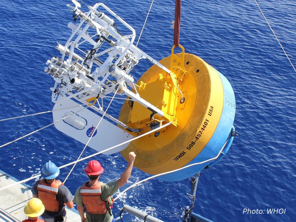
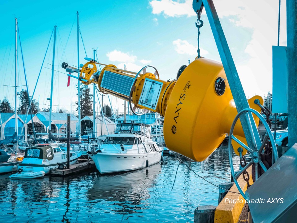
Buoys play a unique role as an essential observation platform in ocean observation. While satellites provide broad-scale coverage of ocean surfaces, buoys deliver crucial ground-level measurements that enhance and validate space-based data. These floating stations supply real-time, in-situ observations across the open ocean, particularly in remote areas where other monitoring methods are limited. Together with other observation networks, buoys help create a more complete picture of marine conditions, by offering precise local measurements that improve the accuracy of satellite-derived data. This synergistic relationship strengthens our overall ocean monitoring capabilities, ensuring no area goes unobserved.

Marine Safety and Hurricane Forecasting
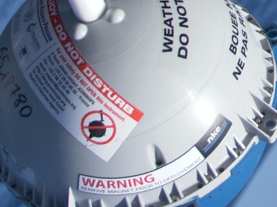
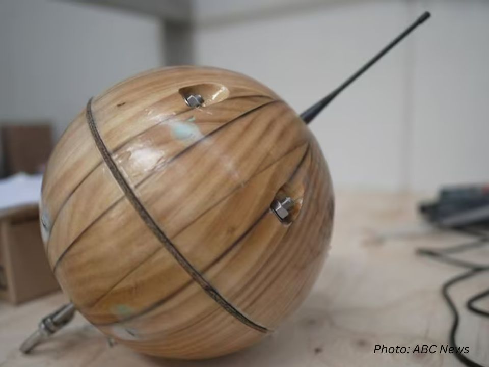
During hurricane season, specialized drifting buoys deployed ahead of approaching storms (such as the Air-Launched Autonomous Micro Observer units used by NOAA's Hurricane Research Division) measure subsurface ocean temperatures down to 200 meters depth. This data reveals available heat content - the primary energy source for storm intensification - allowing forecasters to predict sudden strengthening events with greater precision. The Global Drifter Program reports that data from these buoys has improved hurricane intensity forecasts significantly in recent years. While the exact impact on maritime safety is harder to quantify, the International Maritime Organization's guidelines recognize that buoy data contributes significantly to weather routing and collision avoidance systems. By combining surface observations with subsurface profiles, buoy arrays create a complete vertical picture of marine conditions that satellites alone cannot provide, making them indispensable for both short-term marine safety and long-term climate monitoring.

Seasonal & Long-Term Climate Predictions
Beyond short-term weather, buoy data feeds into advanced oceanographic models that predict:
- El Niño & La Niña Events – By monitoring sea surface temperatures (SST) and subsurface currents, buoys help forecast these climate phenomena months in advance.
- Ocean Heat Content – Over 90% of global warming heat is absorbed by the ocean, and buoys track this critical metric for IPCC climate reports.
- Ocean Acidification – pH sensors on buoys monitor CO₂ absorption, helping scientists assess marine ecosystem health.

Supporting Fisheries & Marine Ecosystems
Buoys provide sea surface temperature (SST) data, which is vital for:
- Fisheries Management – Fish species like tuna and salmon migrate based on temperature. Daily SST charts from buoys help fishermen locate stocks sustainably.
- Harmful Algal Bloom (HAB) Tracking – Buoys detect oxygen-depleted "dead zones" and toxic blooms, protecting aquaculture and coastal economies.
- Coral Reef Conservation – Temperature sensors alert scientists to coral bleaching events, enabling rapid response.